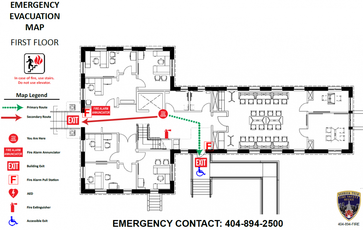
The Georgia Tech Fire Safety Office has implemented a new program which replaces or provides new Emergency Evacuation Maps in all buildings on the Georgia Tech Campus. These new maps can be found generally next to the building’s elevator on each floor. The emergency evacuation maps provide a standardized appearance throughout campus and related buildings of Georgia Tech. The maps will include such information as primary and secondary exiting, fire alarm pull station locations, AED locations, and fire extinguisher locations. Fire Safety Specialist Sr., Jake LeJeune, is heading the program and creating the maps of each building and placing them accordingly. Below is an example of an Emergency Evacuation Map.